Legal
Hiking on the Rosswald
Discover the region around the Rosswald on hikes
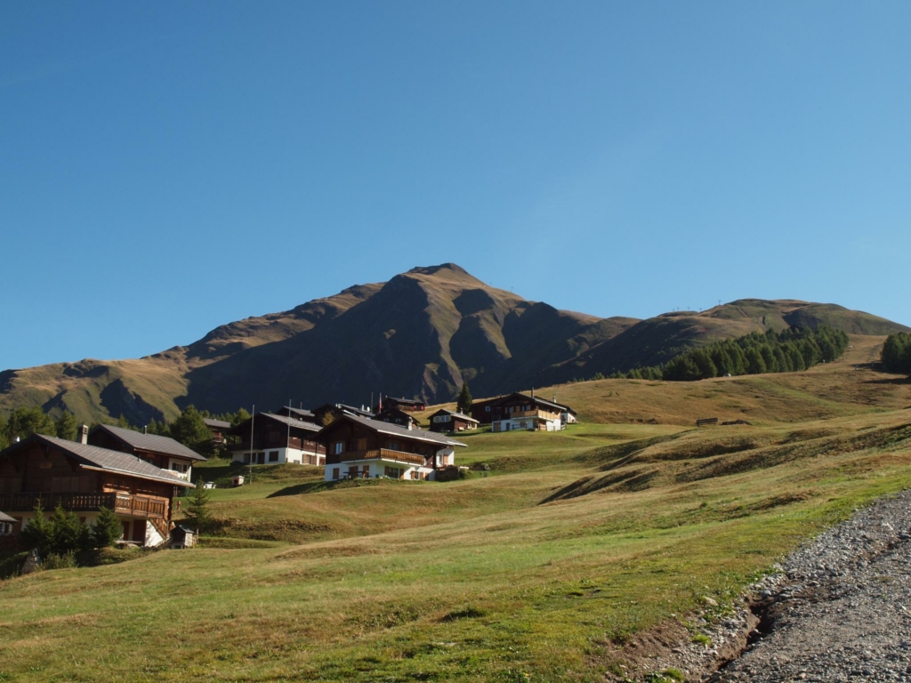
Varied hikes await you in the region around Rosswald. Discover the Alpe Rosswald with its hidden beauties on the three marked circular hiking trails with different levels of difficulty. The old military trail of Battalion 36 “36er Weg” leads from the valley station up to the Rosswald and on to the Folluhorn.
Don’t miss the day hike from the Rosswald to the Bortelhütte. In the Bortelhütte you can enjoy excellent food and drinks during the summer months. This stage of the Alpine Passes Trail No. 6 then continues to Rothwald and the Simplon Pass.
The 3 circular routes
Mountain water trail
Facts
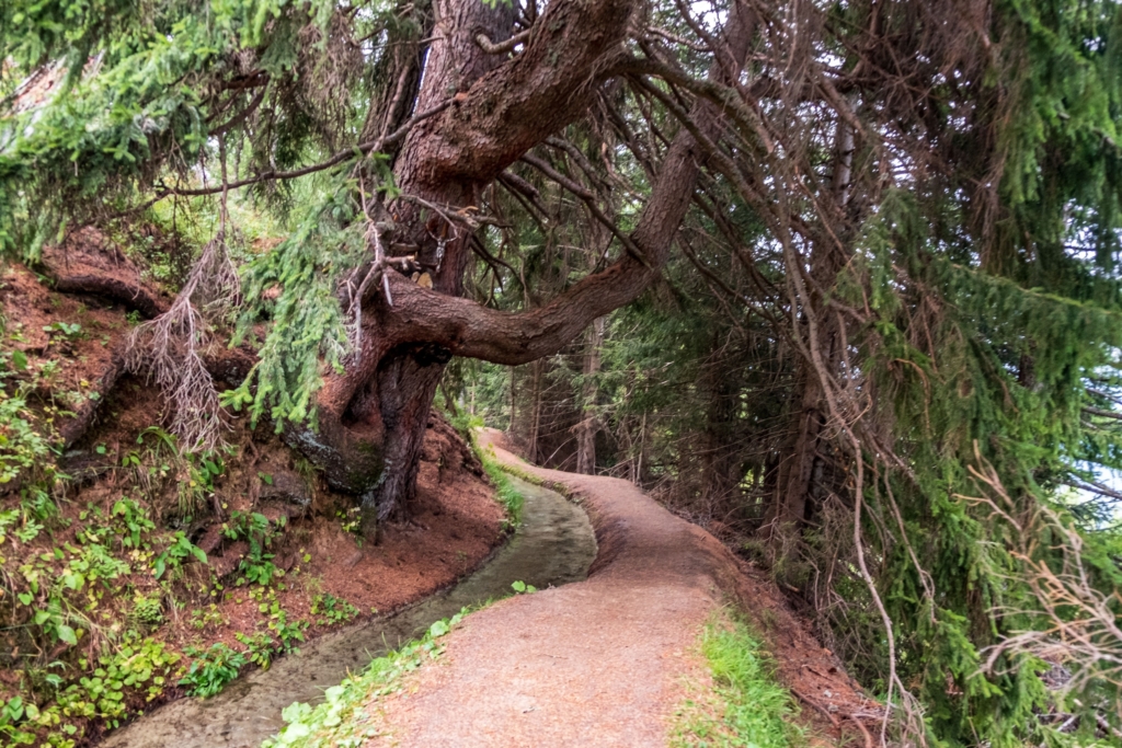
In this hike you follow the blue signposts. From the mountain station you hike up to the car park. Then continue on a wide forest road in the direction of “Stafel“. Follow the well-signposted pathuntil you meet the water ladder. Now you walk along the water. After the beautiful, pleasant hike, you come back to the Rosswald.
Rosswald circular trail
Facts
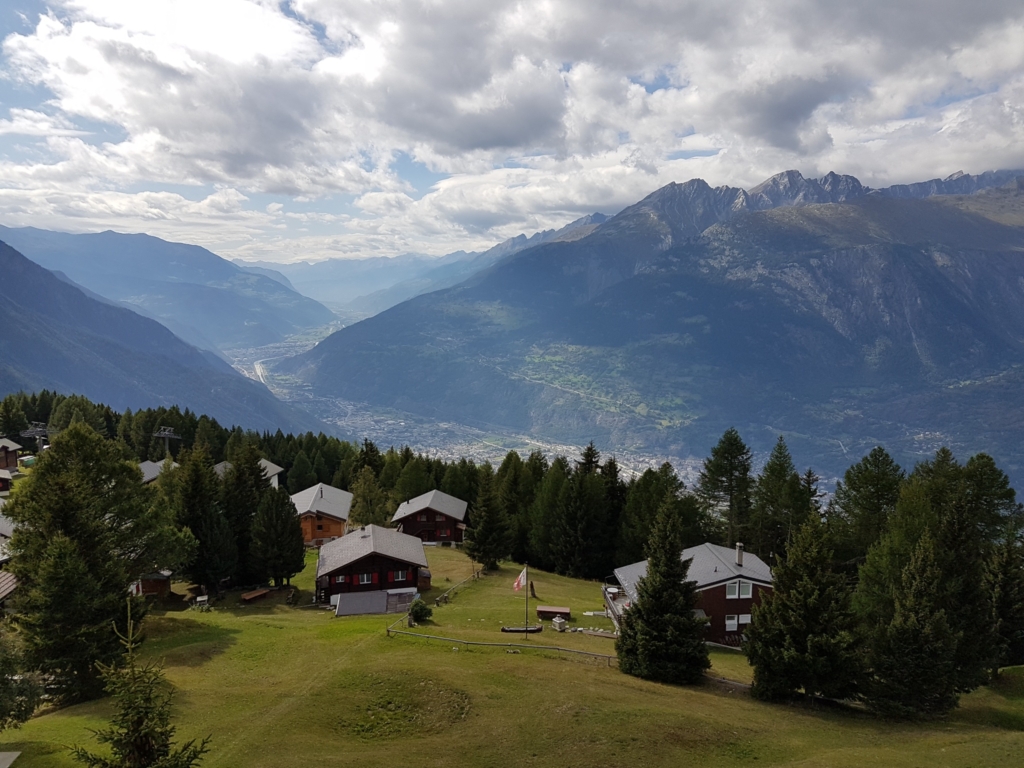
On this hike you follow the green signposts. Walk down the path between the Rosswald mountain station and the chapel. After about 500 m you will come to a crossroads. From here, always follow the signposts. The circular route is very well signposted. You walk about 100 m below the houses through the forest. It is a hike with a beautiful view. You can see the whole Simplon region and the gigantic Ganter Bridge. At Schmittmatte you come back onto a wider forest path. After the ascent to the Fleschboden, you will be rewarded with a wonderful view over the entire Rhone Valley. Then you hike effortlessly down over the Saflischmatte, back to the Rosswald.
Saflischwald circular trail
Facts
On this hike you follow the red signposts. Start at the Rosswald mountain station in an easterly direction. Past the bathing lake, the pathleads you into the forest. Follow the path towards Riedalpji until you reach the asphalted Rosswald road. Above the road, follow the hiking trail through the Saflischwald forest back towards Rosswald. If you want to hike a little further, you can zigzag up to the summer slope. The hiking trail (and this additional loop) is well signposted. Now you have the option of walking back to the mountain station.
All hiking trails
“36er Weg” from Ried-Brig to Rosswald
Difficulty: Medium
Distance: 4.88 km
Duration: 2h 30min
Start: Ried-Brig
Destination: Rosswald, mountain station
Distance: 4.88 km
Duration: 2h 30min
Start: Ried-Brig
Destination: Rosswald, mountain station
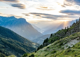
Rosswald – Bortelhütte – Berisal
Difficulty: Medium
Distance: 10.98 km
Duration: 3h 45min
Start: Rosswald, 1'819 m
Destination: Berisal 1,525 m
Distance: 10.98 km
Duration: 3h 45min
Start: Rosswald, 1'819 m
Destination: Berisal 1,525 m
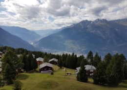
Rosswald: Saflischwald circular trail
Difficulty: Medium
Distance: 3.58 km
Duration: 1h 30min
Start: Rosswald, mountain station
Destination: Rosswald, mountain station
Distance: 3.58 km
Duration: 1h 30min
Start: Rosswald, mountain station
Destination: Rosswald, mountain station
Termen – Mattalpji – Rosswald
Difficulty: Hard
Distance: 11.48 km
Duration: 5h
Start: Rosswald, Talstation
Destination: Rosswald, mountain station
Distance: 11.48 km
Duration: 5h
Start: Rosswald, Talstation
Destination: Rosswald, mountain station
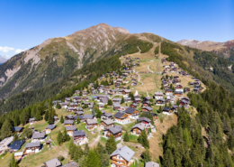
Rosswald: Rosswald circular trail
Difficulty: Medium
Distance: 6.63 km
Duration: 2h 30min
Start: Rosswald, mountain station
Destination: Rosswald, mountain station
Distance: 6.63 km
Duration: 2h 30min
Start: Rosswald, mountain station
Destination: Rosswald, mountain station
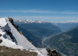
On old military trails: Folluhorn & Fülhorn
Difficulty: Medium
Distance: 9.57 km
Duration: 5h
Start: Rosswald, mountain station
Destination: Rosswald, mountain station
Distance: 9.57 km
Duration: 5h
Start: Rosswald, mountain station
Destination: Rosswald, mountain station
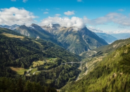
Alpine Pass Route: Rosswald – Simplon Pass
Difficulty: Hard
Distance: 19 km
Duration: 6h 30min
Start: Rosswald
Destination: Simplon Pass
Distance: 19 km
Duration: 6h 30min
Start: Rosswald
Destination: Simplon Pass
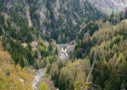
Ganter – Stafel – Eisten – Ganter
Difficulty: Hard
Distance: 10.24 km
Duration: 4h
Start: Gantertal, Eisten
Destination: Gantertal, Eisten
Distance: 10.24 km
Duration: 4h
Start: Gantertal, Eisten
Destination: Gantertal, Eisten
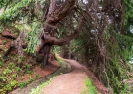
Rosswald: Mountain water circular trail
Difficulty: Medium
Distance: 4.70 km
Duration: 1h 30min
Start: Rosswald, mountain station
Destination: Rosswald, mountain station
Distance: 4.70 km
Duration: 1h 30min
Start: Rosswald, mountain station
Destination: Rosswald, mountain station
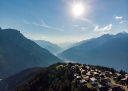
Rosswald – Stückiegga – Megi – Ried-Brig
Difficulty: Medium
Distance: 7.75 km
Duration: 2h 30min
Start: Rosswald, mountain station
Destination: Ried-Brig
Distance: 7.75 km
Duration: 2h 30min
Start: Rosswald, mountain station
Destination: Ried-Brig
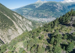
Rosswald – Schallberg – valley station
Difficulty: Medium
Distance: 6.48 km
Duration: 2h
Start: Rosswald, 1'819 m
Destination: Ried-Brig, valley station
Distance: 6.48 km
Duration: 2h
Start: Rosswald, 1'819 m
Destination: Ried-Brig, valley station
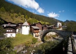
Alpine Passes Trail: Binn – Saflischpass – Rosswald
Difficulty: Hard
Distance: 19.83 km
Duration: 7h
Start: Binn, village
Destination: Rosswald
Distance: 19.83 km
Duration: 7h
Start: Binn, village
Destination: Rosswald

